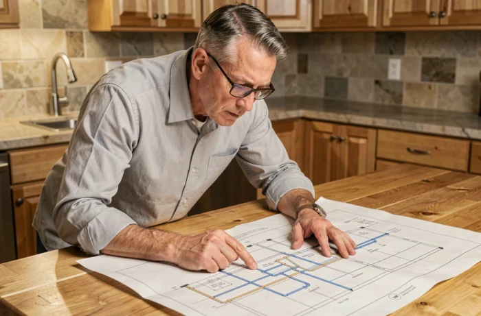
You are preparing an extension, a terrace, or a simple connection, and no one knows where the pipes run under your land. This situation is common, but it can halt a construction site in just a few hours if you dig in the wrong place. Before renting a mini-excavator or signing a grading quote, it is wise to reconstruct the layout of the pipelines, whether they are for wastewater, stormwater, or drinking water supply.
Check what already exists in your construction documents
When purchasing a recent house, the construction file typically contains a plan of the buried networks. You can find it in the building permit, in the builder’s file, or sometimes in the sanitation diagnosis carried out during the sale. This document indicates the layout of private pipelines, the position of inspection chambers, and the slope of drainage.
The problem is that these plans are not always kept. A previous owner may have lost the file, or the house may date from a time when no one recorded the layout of the networks. In this case, you need to find the pipeline plans by other means, starting with the organizations that manage the public network.
The plan obtained from a manager does not guarantee the exact position of a private pipeline. It provides information about the connection to the public network, not about what happens between your house and the property line. It is a basis, not a certainty.

Single window and DICT: regulatory steps before work
As soon as a company works on your land for excavation, the anti-damage regulations apply. The project manager must submit a DT (declaration of project works) via the online service of the Single Window, managed by INERIS. The executing company, for its part, submits a DICT (declaration of intent to commence works).
These declarations trigger the sending of location data by each network operator present in the area (water, gas, electricity, telecoms). You then receive plans that show the approximate footprint of each buried network. This is the most reliable source for public networks, but feedback varies on the accuracy of the provided layouts, especially for older pipelines.
- The DT is mandatory even on a private plot when the work is entrusted to a company. The status of an individual does not exempt the executor from this step.
- The Single Window lists network operators by municipality, allowing you to know whom to contact for data in your area.
- Responses from operators sometimes include recommendations for safety distances to be maintained around each pipeline or cable.
What to do when the received plans are imprecise
Operators provide mapping data, but their accuracy depends on the age of the network and the quality of the initial survey. For a network installed several decades ago, the discrepancy between the plan and the actual ground can reach several meters.
In this case, regulations provide for additional investigations. A certified service provider uses electromagnetic detection or ground-penetrating radar to determine the actual position of pipelines and cables. This georeferenced survey is then integrated into a GIS (geographic information system), transforming approximate data into usable layout on the construction site.
Municipal sanitation plan: a often overlooked resource
The town hall or the inter-municipality responsible for sanitation holds a plan of the public collective sanitation network. This plan shows the layout of the sewer system, the diameters of the collectors, and the position of the connections. It can be consulted at the technical service or the SPANC (public service for non-collective sanitation) if you are on individual sanitation.
This document serves as a starting point to find your house’s connection. The owner remains responsible for the private part of the connection up to the public network. In non-collective sanitation, the responsibility covers the entire installation, under the control of the SPANC.
During a real estate sale, the inspection of the collective sanitation connection is now a common document. If you are buying a property, this report can be a practical source to verify the layout of the existing connection.
Camera inspection and ground detection: when the plan is no longer sufficient
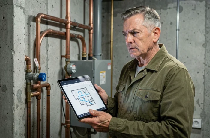
No matter how many documents you gather, some situations require a site visit. An old house with successive additions (garage, veranda, extension) often has pipelines that do not appear on any plan. Empty conduits laid in anticipation for fiber optics or irrigation can also complicate the reading of the basement.
Camera inspection remains the most direct method to confirm an existing layout. A camera is inserted into the pipeline from an accessible inspection chamber, and the path is visualized in real-time. This technique also allows for the detection of anomalies (back slopes, cracks, infiltrated roots) that do not appear on any plan.
Electromagnetic detection and ground-penetrating radar
For pipelines not accessible by camera (pressurized drinking water, electrical conduits), electromagnetic detection or ground radar are the reference tools. A technician scans the surface of the ground with a device that detects metallic pipes or variations in soil density.
- Electromagnetic detection works well on metallic pipelines or those equipped with a warning mesh.
- Ground radar also detects PVC or concrete pipes, but interpreting the results requires specific expertise.
- Combining several detection methods increases the reliability of the final survey and reduces the risk of damage during work.
The cost of professional detection varies depending on the area of the land and the number of networks to be located. You can request multiple quotes for comparison, ensuring that the provider has certification in network localization.
Private network or public network: knowing who maintains what
The distinction between public network and private network determines who is responsible for maintenance, and therefore who holds the plans. The public network (main collector, connection up to the property line) falls under the municipality or inter-municipality. The private network, from the property line to the house, is the owner’s responsibility.
In practice, the private part is the one that poses the most problems: it is rarely mapped accurately, and this is precisely where surprises occur during a construction project. If you have a site survey done, request a georeferenced plan of this portion. It is an investment that will serve for every future project on your land.
Keeping a digital and paper copy of all retrieved plans (town hall, operators, diagnostics, site surveys) in a dedicated folder prevents the need to restart the search for each new project. An up-to-date pipeline plan protects both your house and your renovation budget.